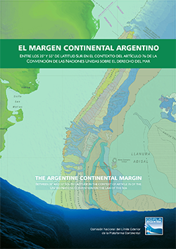
How is the outer limit of the continental shelf delineated?
The continental shelf regime is enshrined in Law 23.968 and in Part VI of the United Nations Convention on the Law of the Sea (UNCLOS), which entered into force in 1995 for Argentina. According to these regulations, the continental shelf of a coastal State comprises the seabed and subsoil of the submarine areas that extend beyond its territorial sea and throughout the natural prolongation of its land territory, up to the outer edge of the continental margin. When that shelf extends beyond 200 nautical miles, the coastal State shall submit information on the outer limit to the Commission on the Limits of the Continental Shelf (CLCS). This Commission shall make recommendations to coastal States related to the conformity of the submitted limit with the relevant rules in the Convention. The outer limit of the continental shelf established by the coastal State on the basis of these recommendations shall be final and binding.
The method to determine the extension of the outer edge of the continental margin is established in UNCLOS.
First, the so-called “foot of the continental slope” needs to be located, and then the points of the outer limit of the continental shelf have to be determined, using two criteria set forth in the Convention:
- Outermost fixed points at each of which the thickness of sedimentary rocks is at least 1 per cent of the shortest distance from such point to the foot of the continental slope, or
- Fixed points not more than 60 nautical miles from the foot of the continental slope.
The fixed points comprising the outer limit of the continental shelf, drawn in accordance with the preceding paragraph, either shall not exceed 350 nautical miles from the baselines from which the breadth of the territorial sea is measured or shall not exceed 100 nautical miles from the 2,500 meter isobath.

